Who We Are
About Us
Celebrating
30 years
 GJ. Berding Surveying, Inc. is a full service Professional Surveying firm, located in the eastern Cincinnati suburb of Milford, Ohio.
Conveniently located within minutes of the I-275 beltway, the company has immediate access to the entire Greater Cincinnati area as well as Northern Kentucky and the I-71/I-75 corridor.
The firm is a Verified Service Disabled Veteran Owned Small Business (SDVOSB) as certified by the U.S. Department of Veterans Affairs (VA), Center for Verification and Evaluation (CVE).

Our success in providing professional services is demonstrated by our innumerable satisfied clients.
Our Commitment
to Excellence
in land surveying is manifested through an extensive capital investment in measuring devices, vehicles and communication systems. Our firm has provided boundary, topographic, location and stakeout surveys on thousands of projects from land acquisition to construction and utility relocations over the past 30 years.


Our Surveyors
know that our product
know that our product defines the characteristics and opportunities of each site and are committed to an accurate and fast response.
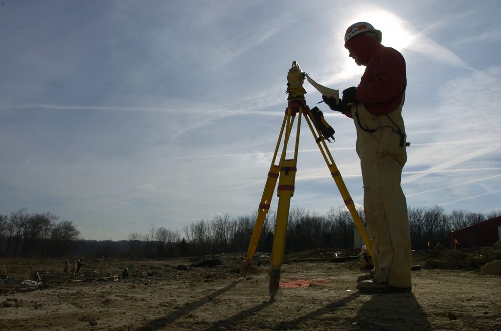
Our surveyors and office personnel are equipped with the latest technology to provide clients with the best possible product. Unlike engineering and multi-disciplined design firms with survey departments, Berding Surveying specializes in only land surveying.
Advanced Surveying & 3D Scanning Solutions
Design clients have found that outsourcing what has become a specialized service eliminates the overhead and down time expense associated with maintaining in-house survey crews.
In addition to conventional surveying systems, our firm utilizes GNSS systems, terrestrial and aerial (drone-based) LiDAR capture, and aerial (drone-based) photogrammetry. Computations, survey drawings, and plans are prepared by our technical support staff using the latest applicable software, including AutoCAD, Carlson Survey, Trimble Business Center, and Bentley MicroStation.
We have completed extensive projects involving right-of-way acquisition for the Ohio Department of Transportation (ODOT). This experience, combined with the completion of mandated technical training, has enabled us to become prequalified for ODOT and KYTC projects.
Since 2001, 3D laser scanning and modeling services have been a core offering of Berding Surveying, allowing us to meet the needs of a wide array of customers across various fields. From geological applications (such as caves and landslides) to hospital operating rooms and industrial steel mills, our scanning services have provided solutions to an ever-broader customer base while enhancing traditional workflows. Scan data can be collected through a “walkable” scanner (currently utilizing a NavVis VLX system), tripod-mounted static scanners, and drone-mounted units. Cross-checks are conducted against traditional survey benchmarks and control points to ensure data integrity.
Berding Surveying employs two FAA-licensed remote UAS pilots who regularly conduct aerial photogrammetry missions. This capability allows us to collect data from the air, further expanding our service offerings and demonstrating what surveyors can achieve.
