Laser Scanning
3d Scanning
Fast, accurate
non-contact measurements of existing conditions
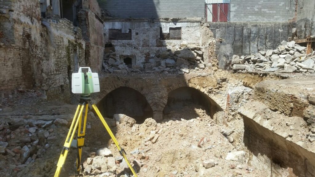
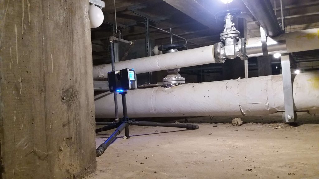
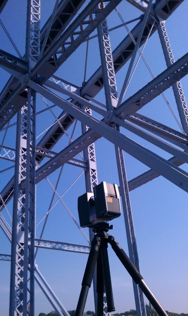
An early adopter of 3D Laser Scanning, Berding Surveying is able to use multiple systems for capturing detailed 360-degree, 3D data sets of any man-made or natural structure with survey grade accuracy.
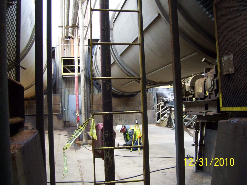
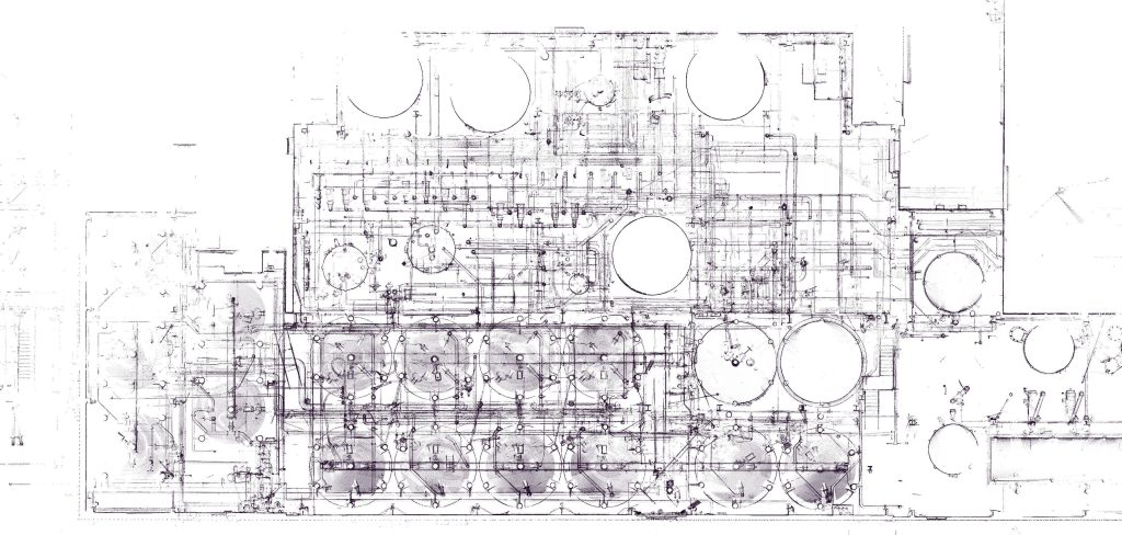
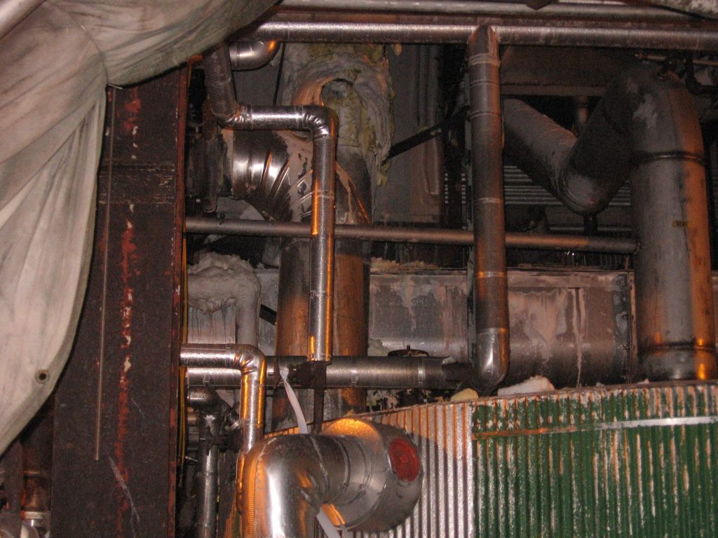
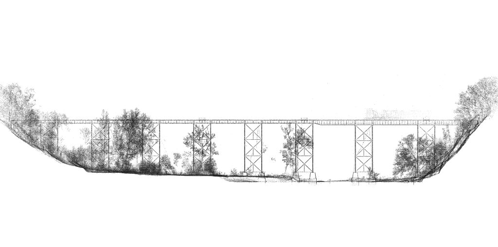
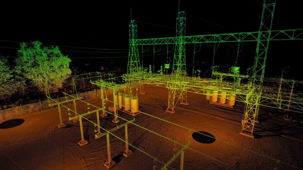
This powerful technology allows us to quickly scan complex, hard-to-reach or dangerous environments safely and accurately. The system is used on renovation, historical preservation and archiving projects. Bridges, overpasses, railroads, high speed roadways and airport runways are captured in great detail from a safe distance. Process piping, tank farms and manufacturing plants can be captured and 3D models delivered. This service provides amazing accuracy and completeness with huge time and cost savings to our customers.
Service
Applications
Plants & Facilities
- As-builts of existing environments save much time and are more accurate than traditional methods.
- Assist in the conceptual design & interference checking
- Fabrication and construction inspection
Construction Monitoring
- Q/A construction inspection
- Quantity surveys
- Can provide a progress archive of the construction process.
- Point clouds can be used directly in Revit for verification of as-built vs. design
Bridge and Road Design
- Helps engineers to perform a more accurate retrofit to existing bridge conditions without disruption to normal traffic flow.
Architectural
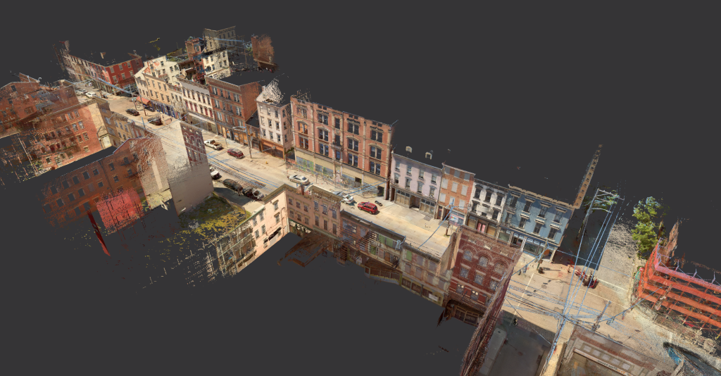
- Historic preservation
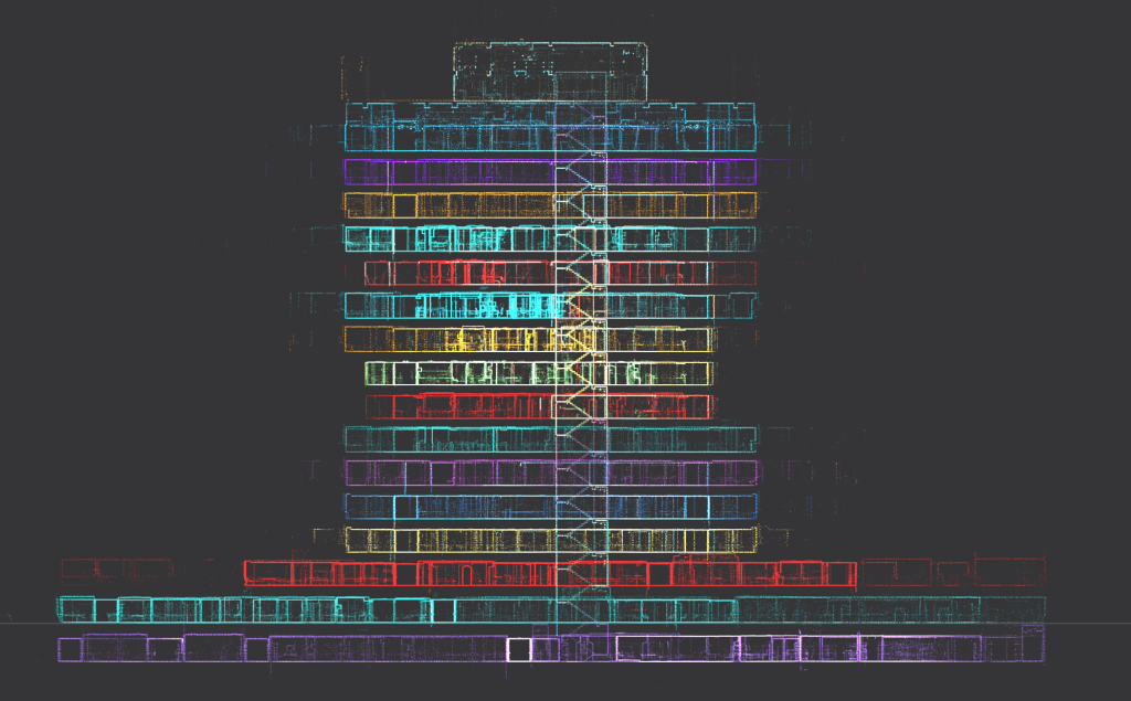
- Building retrofit
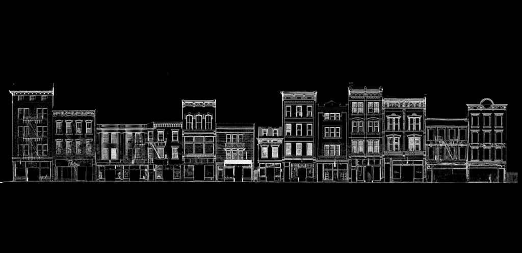
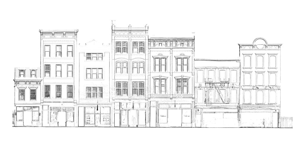
- Streetscapes
- Structural analysis
- Revit models when existing drawings do not exist or cannot be relied on
3D Visualization and Modeling
- Forensic data recording
- Accident recreation
- 3D gaming
- Fly-throughs

